AFA Issues Directives on Farm Geo-Mapping to Ensure Continued Access to EU Markets
TRACE Regulatory Desk
5 min read
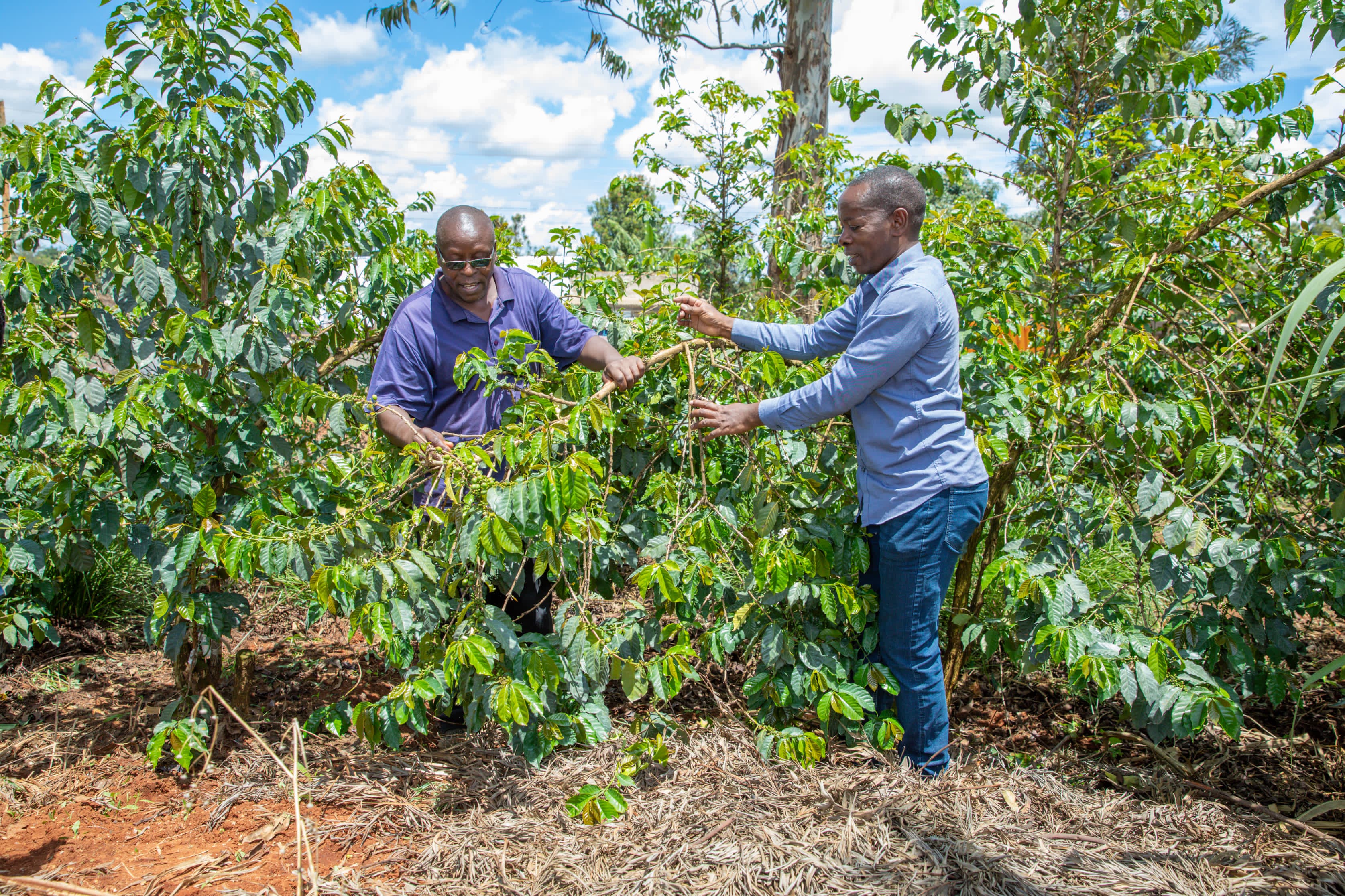
The Agriculture and Food Authority (AFA) has issued updated operational directives requiring all fresh produce and coffee exporters to register verified GPS polygon coordinates for all source farm plots.
With international regulatory deadlines approaching under the EU Deforestation Regulation (EUDR), the move aims to shield Kenyan exports from potential port rejections or administrative bans at European border entry points.
What the AFA Directive Requires
The new guidelines mandate that exporters move away from aggregate farm listings and transition toward direct, plot-level digital verification:
- GPS Polygon Mapping: Farms exceeding 4 hectares must submit full polygon boundary maps. Smallholder plots under 4 hectares require precise single-point GPS coordinates.
- Deforestation Proof: Geolocation records must verify that no cultivation occurred on land deforested after December 31, 2020.
- Integrated Supply Chain Auditing: Exporters must link farmer ID profiles directly to batch registration numbers prior to obtaining clearance.
"Ensuring seamless compliance with international markets requires complete digital visibility from the individual farm plot directly to the container terminal."
— AFA Regulatory Directorate
How Digital Platforms Enable Compliance
Manual collection of farm GPS data across thousands of smallholder suppliers introduces significant operational complexity. Digital compliance tools like TRACE allow exporters to:
- Upload & Validate Geodata: Batch upload polygon boundaries directly from mobile field mapping tools.
- Automate EUDR Due Diligence: Validate farm boundaries against historical forest cover satellite data.
- Generate Digital Passports: Instantly attach cryptographic proof of compliance to shipping documentation.